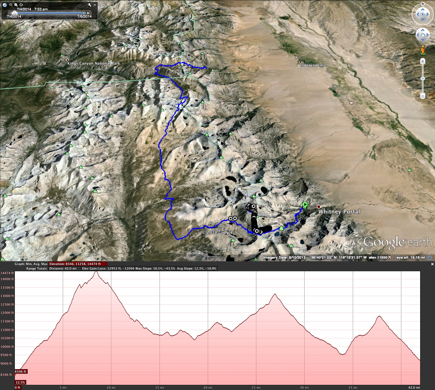
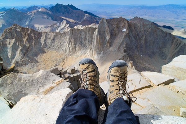
Over the Fourth of July weekend, a group of six of us set out to summit Mount Whitney (elevation 14,505′), the highest peak in the lower 48. I was pretty nervous about the elevation beforehand since everyone kept telling me their horror stories about nausea and disorientation, but it fortunately did not end up being a problem except for the usual huffing and puffing up the mountain. We got pretty lucky with the conditions since California is in a drought. There weren’t any sketchy snow/ice spots on the trail to watch out for.
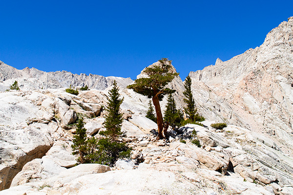
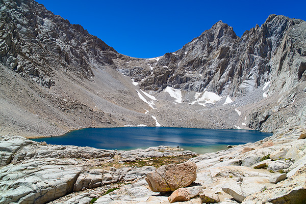
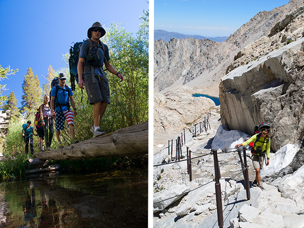
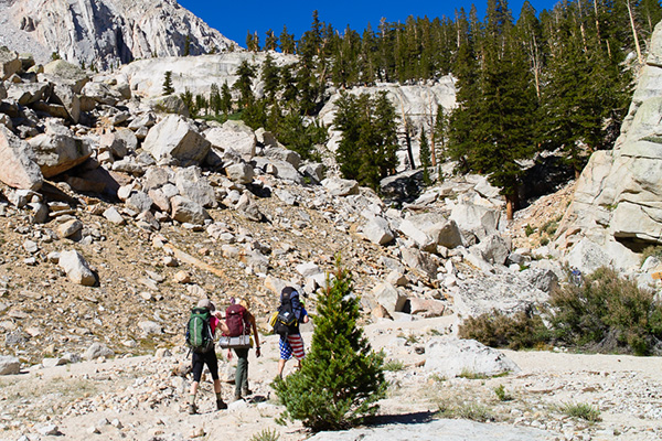
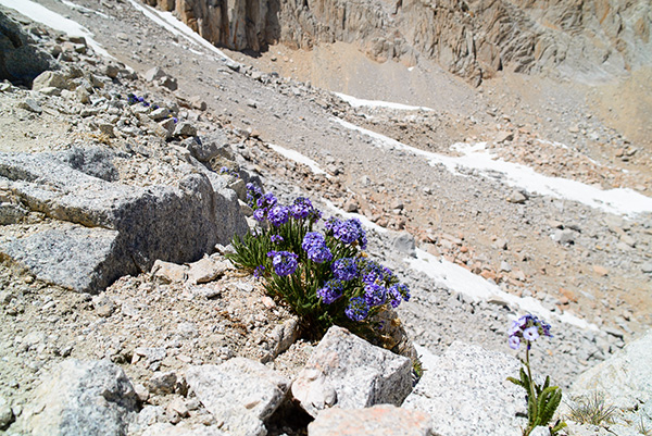
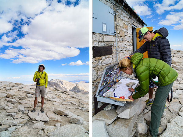
We started at Whitney Portal (elevation 7,851′) where we weighed our packs. (Mine was 32 lbs with my camera.) The trail took us through the forest in the John Muir Wilderness until we eventually entered the Whitney Zone, which requires a permit. We passed beautiful green meadows along the trail. Once we were above the tree line, the hike became very exposed. It’s amazing how much the scenery changed along the course of the trail We stopped for lunch at Consultation Lake. Then, we headed up the 99 switchbacks. The purple skypilot flowers were blooming in full force during this trip. The top of the ridge line is the entrance to Sequoia National Park. Once we reached the John Muir Trail Junction, we dropped our packs for the 1.9 miles to the summit. There were tons of marmots hanging around the backpacks scavenging for food from people’s packs. Once we summited, everyone took a quick nap since the altitude totally sucked the energy out of everyone. We headed back down towards Crabtree Ranger Station and camped at Guitar Lake (total miles: 16).

PHOTOS BY MELODY KUO
Our entire three day backpacking trip in summary.
